Challenging Sandhills Scenic Drive
This is a challenging Sandhills scenic drive, as some of the route traverses gravel and sandy roads. Begin by traveling to Sutherland on Highway 30, about 25 miles west of North Platte. While you’re in town, you might want to stop for a bite to eat. There’s a Subway on the east edge of town, a convenience store that serves fast-food fare, a cooperative that serves good home cooking, and a deli in the grocery store. On the east edge of Sutherland, turn north on Prairie Trace Road.
About five miles north of town, you will cross the North Platte River on the State-Aid Bridge, which is on the National Register of Historic Places. Just north of the river looking east, you will find deep ruts made by the Mormon Trail. Continue north on Prairie Trace Road. You will find it is paved for approximately 15 more miles before it turns to gravel and loose sand.
The road condition may vary depending upon the time of year and the weather. A four-wheel-drive or high clearance vehicle is recommended.
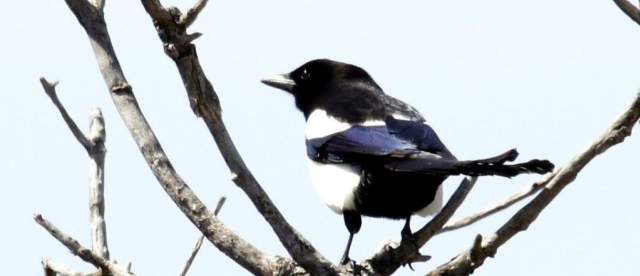
After approximately 30 miles, you will encounter the opportunity to turn north onto Diamond Bar Road. This road will take you past one of the Sandhills lakes where you can see numerous shore birds. Please note the lake is on private land, so you’ll need binoculars or a telephoto lens to spy the birds on the lake.
The route intersects Highway 92 west of Tryon. Follow this just past Tryon, then turn back south to return to North Platte.


